

You must log in or # to comment.
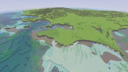
topographic
Technically, elevation data of the waterbed of a water body is called bathymetry.
Still such a cool project though
Phenomenal use of Minecraft, as this kind of information is easier to process if you can interact with it.
Yeah I love seeing governments and researchers do stuff like this. Years ago a country released a 1to1 scale map of their whole country, denmark I think.
I remember reading about the Denmark 1 to 1 map, that was pretty badass…Given that Denmark is so small, it was an easy ask to make a Minecraft map!
woah :O